Just beyond Palanga a different coast begins. The pine forest ends in a steep cliff, stones lie along the shore, and in Karklė there are still fishermen who wait for the cod season. This is the Seaside Regional Park: almost six thousand hectares between Palanga and Klaipėda, most of it sea.
Below you will find a map with bike and car routes from the hotel, the visitor centre’s opening hours, how to get there by bus and what to know about Olando kepurė, a cliff that retreats from the sea by about half a metre every year.
The park in numbers
- Founded
- 1992
- Area
- 5,865 ha
- Of which sea
- 53.5%
- Cliff retreat
- ~50 cm a year
- Visits in 2025
- 362,946
What kind of park this is
The Seaside Regional Park was founded on 24 September 1992 and stretches from old Palanga to the edge of Klaipėda. More than half of its 5,865 hectares is the Baltic Sea, so the park also protects what you cannot see from the shore: coastal waters where long-tailed ducks spend the winter, and where more than 10,000 birds gather on the sea in the cold months.
On land it protects a rare stony, cliff-lined shore, dunes and dune grasslands. The least moonwort fern grows here and nowhere else in Lithuania. About 140 bird species have been recorded in the park.
Since 2023 the park has been run by the Lithuania Minor Protected Areas Directorate. The park’s old website no longer works, so look for current information on mlietuva.lrv.lt and saugoma.lt.
Routes and places
- Nemirseta dunes viewpoint Grey and white dunes with rare plants, among them the least moonwort fern. A short botanical trail nearby, and the official beach where dogs are allowed.
- Former Nemirseta lifeboat station A German lifeboat station from the late 19th century. The park directorate says it is the only one of its kind left.
- Lake Plazė bird hide The freshwater lake closest to the sea in Lithuania. A cormorant colony of more than a thousand nests lives in the alder woods around it. No swimming and no entry to the reserve: the lake is for watching from the hide.
- Park visitor centre An exhibition on where land meets sea, an aquarium of about 600 litres with the sea life off Karklė, films and two mammoth-bone finds from Olando kepurė.mlietuva.lrv.lt
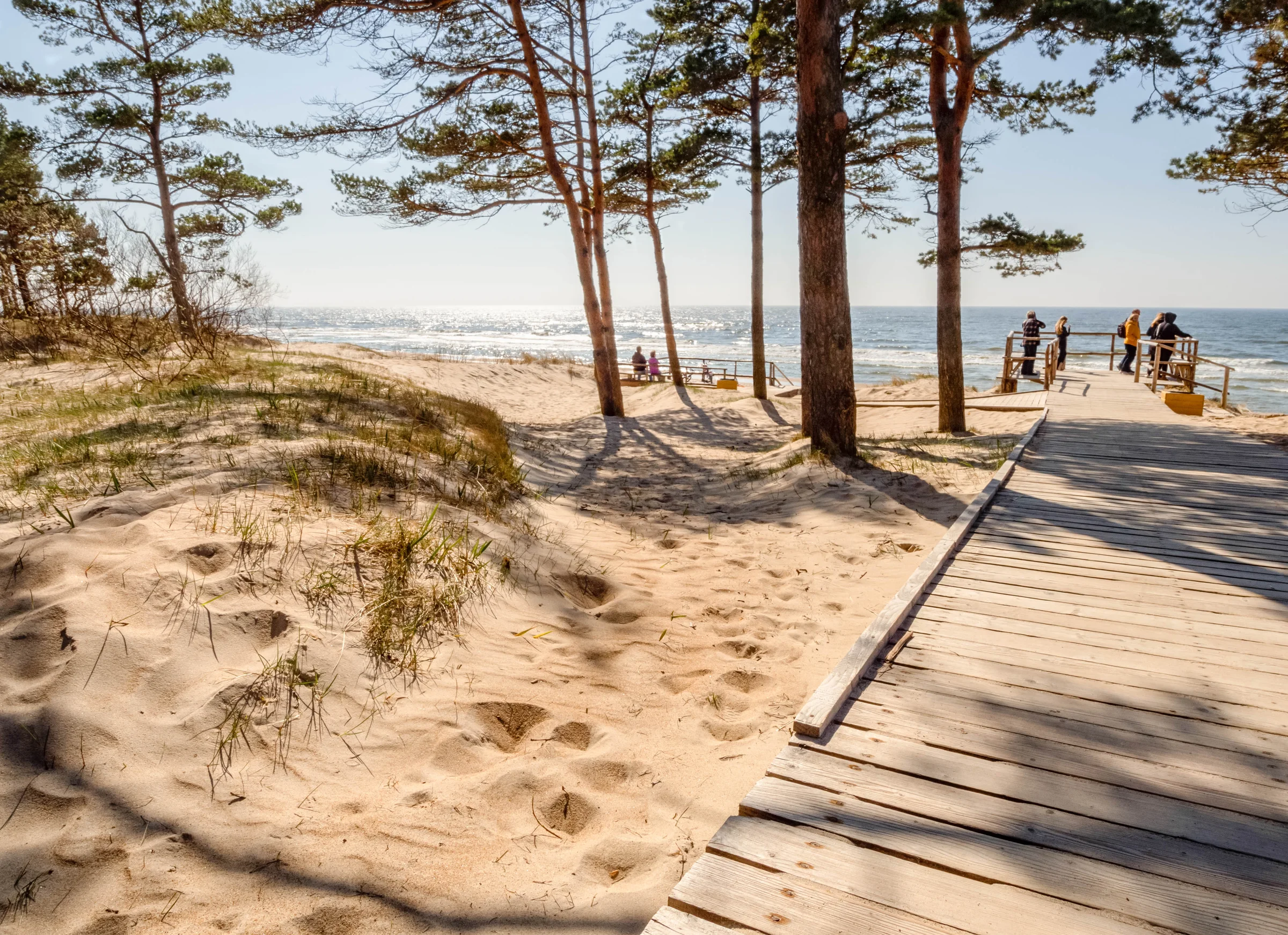
- Karklė old cemetery and beach Known as the Cemetery of the Drowned, where people washed ashore by the sea were buried. Famous for its cast and forged iron crosses. Next to it, a boardwalk with ramps leads down to the beach.
- Olando kepurė A cliff rising about 24 m above sea level, with a 16–18 m slope down to the beach. A forest path and a boardwalk lead to the viewpoint. The cliff is collapsing, so stay behind the fences.saugoma.lt
- Kukuliškiai hillfort A Late Bronze Age hillfort (800–400 BC), the closest to the sea in Lithuania.
- Memel-Nord battery A German coastal artillery battery from the Second World War, with a small museum. In winter the exhibition opens at weekends. It is cool inside the bunkers.klaipedosrajonas.lt
- Giruliai beach The southern end of the park, already on the edge of Klaipėda. From here the coastal cycle path carries on into the city.
Olando kepurė
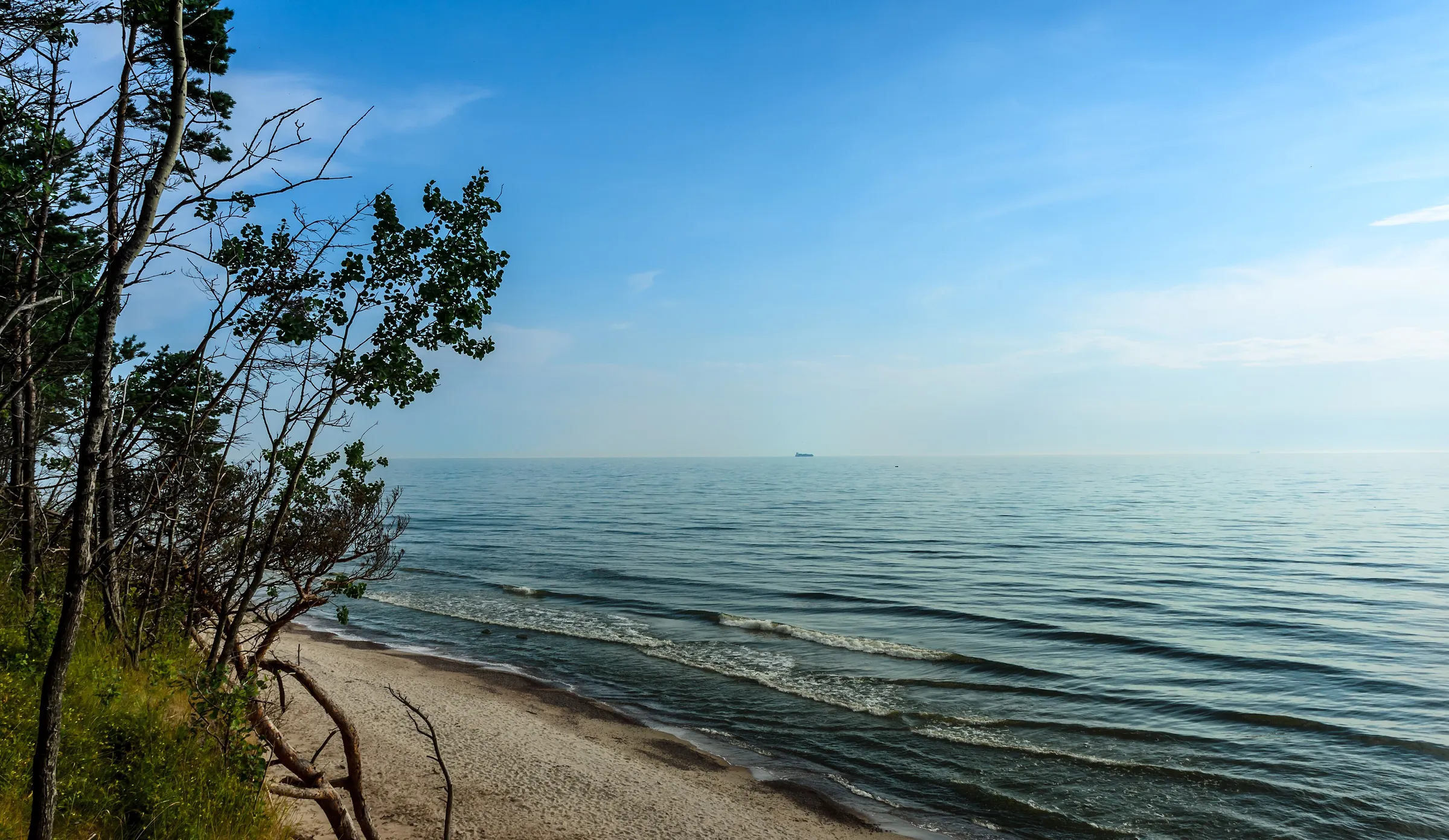
Olando kepurė (the “Dutchman’s Cap”) is a Baltic shore cliff about a kilometre long between Karklė and Giruliai, formed 12–15 thousand years ago. Its top stands about 24 metres above sea level, and the slope drops 16–18 metres to the beach. For a long time it was a landmark for sailors: navigation signs went up here at the beginning of the 19th century, and in 1818 the Prussian engineer C. Wutzke put the name on maps and in sailing directions.
Nobody knows for sure where the name comes from. One story says that, seen from the sea, the hill looks like a Dutch-style fisherman’s cap. Another links it to Dutch settlers in 16th-century Klaipėda. Either way, in 2025 the counter on the viewing platform logged 362,946 visits, making it the most visited site the park directorate looks after.
Waves and groundwater wear the cliff back by about 50 cm a year. They have also washed out mammoth bones some 23,000 years old, and two of those finds are on show at the visitor centre in Karklė.
Stay behind the fences
Karklė and Nemirseta
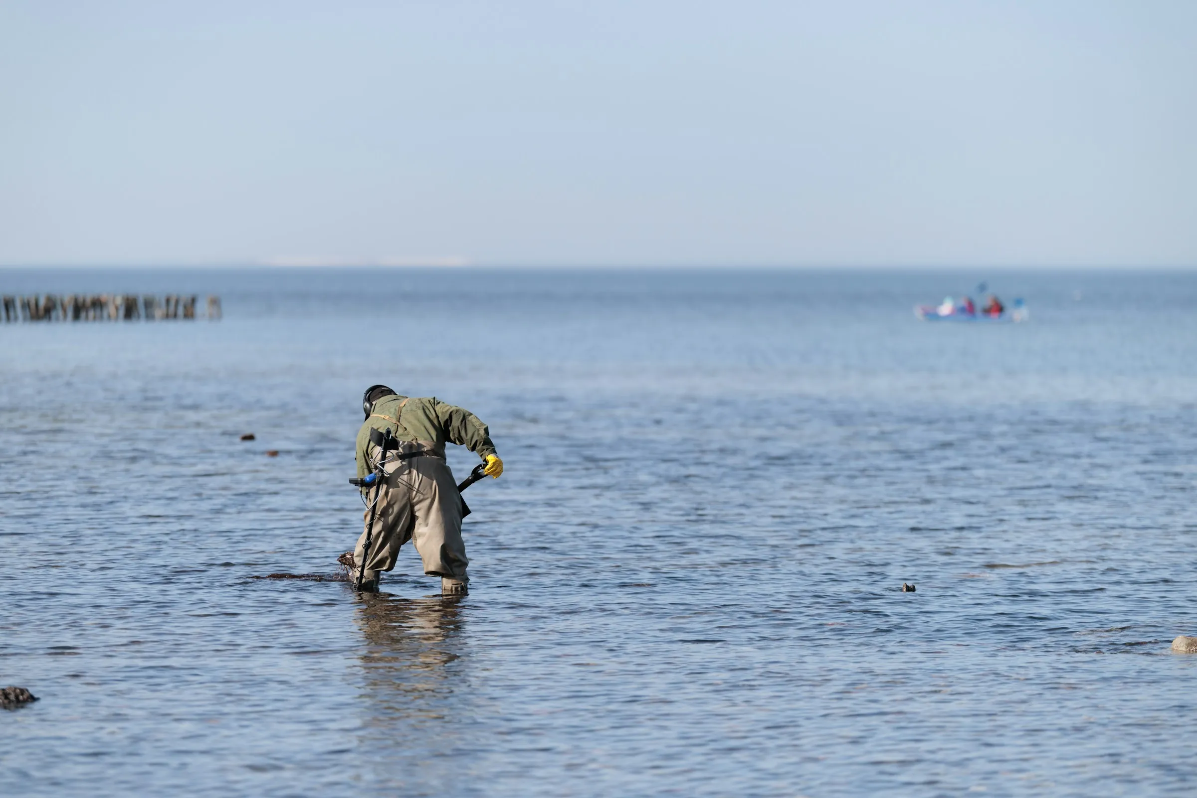
Karklė was first mentioned in 1253. In the mid-19th century its farmsteads were laid out so that every yard had its own way down to the sea. Today it is the only surviving fishing village on Lithuania’s mainland coast where nets are still used, and every year it holds the fishermen’s festival Menkinė, named after the cod. Amber is still caught along this coast too: by hand, in the waves, with small nets.
Nemirseta is at the park’s northern end, already within Palanga. In German it was called Nimmersatt, and until the First World War it was the northernmost point of the German Empire. What remains is the old lifeboat station and a partly ruined Kurhaus, built on the site of a 15th-century tavern. The Nemirseta dunes are the closest wild nature to the hotel: about 6 km by bike.
A day by bike
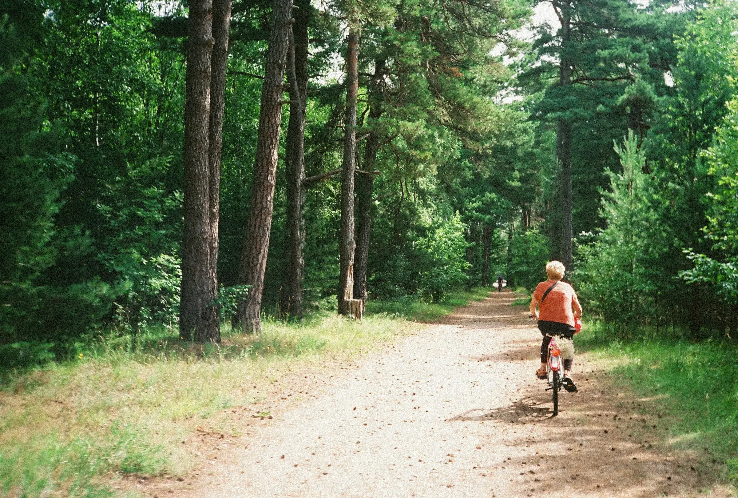
- 9.00Set offFrom the hotel, south along the coastal cycle path. It is part of the EuroVelo 10 route, flat and mostly paved.
- 9.20NemirsetaThe old lifeboat station, the Kurhaus and the dunes viewpoint.
- 10.15Lake PlazėCormorants and waterbirds from the hide. Binoculars help.
- 11.00KarklėThe visitor centre, the old cemetery and the beach. A picnic or lunch.
- 13.30Olando kepurėThe forest path up to the viewpoint over the sea.
- 14.30Onwards or backIf you have the legs, ride 2 km further to the Memel-Nord battery and the Kukuliškiai hillfort. Back along the same path, about 16 km.
How to get there
- By bike. The coastal cycle path runs from Palanga through Nemirseta, past Plazė, Karklė and Olando kepurė to Giruliai and Klaipėda. It is about 16 km to Olando kepurė, roughly an hour of easy riding. In 2025 the stretch between Karklė and Nemirseta alone counted almost 150,000 bike passes.
- By car. About 18 km and 22 min to the Olando kepurė car park, 16.5 km to the visitor centre. From the car park it is about 500 m on foot to the viewpoint.
- By bus. There is no direct bus from Palanga to Karklė. Take route 31 to the Klaipėda stop “Universiteto st.”, change to city bus no. 24 and get off at “Olandų kepurės st.” or “Pajūrio regioninio parko lankytojų centro st.”. Check the timetables the day before: stops.lt.
Before you go
- Parking. The Olando kepurė car park is paid all year round, 8.00–20.00. In 2025 it cost €2.50 an hour from 1 May to 15 September and €1 an hour the rest of the year. The Placio Street car parks in Karklė are paid in season only. Fully electric cars and cars with a disability parking card do not pay.
- The visitor centre is closed on Sundays and Mondays. Out of season it is worth calling ahead: +370 46 412 483.
- No swimming in Plazė. The lake lies in a strict reserve and can only be enjoyed from the bird hide.
- Campfires and tents only at designated sites, such as the Lake Kalotė rest area. Sleeping or cooking in campervans in the protected area is not allowed, except at campsites.
- The visitor ticket is voluntary: €1 a day. It helps pay for the upkeep of the trails.
Worth knowing
Sources
Where this information comes from
- Lithuania Minor Protected Areas Directorate: Seaside Regional Park
- The park visitor centre: address and opening hours
- Accessible places in the park
- The visitor ticket
- Frequently asked questions (campervans)
- saugoma.lt: the Olando kepurė cliff
- saugoma.lt: Lake Plazė
- saugoma.lt: the Nemirseta dunes
- saugoma.lt: Lake Kalotė
- Universal Lithuanian Encyclopaedia: Seaside Regional Park
- Universal Lithuanian Encyclopaedia: Olando kepurė
- Universal Lithuanian Encyclopaedia: Karklė
- Wikipedia (LT): Olando kepurė
- Wikipedia (LT): Nemirseta
- Kraštogidas: Karklė cemetery
- Klaipėda District: the Memel-Nord battery
- LRT: the Memel-Nord battery, 2026
- Visitor numbers in 2025
- Atvira Klaipėda: parking prices at Olando kepurė, 2025
- Klaipėda District: parking fees in Karklė and exemptions
- tv3: landslide warning at Olando kepurė, 2026
- Palanga bus station: intercity routes
- Klaipėda public transport: stops.lt
- Beaches for dogs, 2026
- Map and routes: OpenStreetMap, OpenFreeMap
- Main photo: Topperis, “Olando-kepure.jpg”, CC BY-SA 4.0, Wikimedia Commons
- Photo in the text: Mantas Volungevicius, CC BY 2.0, Wikimedia Commons
Distances and times are calculated from OpenStreetMap data. Information checked on 21 October 2026.